SPACE

satellite-67718_640

Space Applications

Earth observation, Satellite Navigation and Telecommunication combination and knowledge of the three space assets

a5db0f6ec6695620412fa1d2ea5cecd153b09c30

Space Components

Realization of HW and SW for space applications and components

Space Applications

Earth
Observation

The ability to quickly monitor large areas of the territory, the ability to go back in time and identify the origin and evolution of a phenomenon, the characteristic of looking beyond the visible spectrum and thus merging information of a different nature. These are some of the advantages of remote sensing which, year after year, thanks to the constant development of new and increasingly cutting-edge sensors, is establishing itself as a useful and efficient monitoring and control system.
Euro.Soft has been developing software and applications for the processing of remote sensing satellite images for a long time. Thanks to these products it is possible to periodically monitor resources, the environment and manage the prevention of major natural disasters.
Through the analysis of optical and radar data acquired by satellite, territorial stability analysis, control systems of pipeline works and basins, vegetation analysis, verifications of the burnt areas and much more are carried out.

Satellite
Navigation

The GNSS satellite navigation applications allow you to monitor the territory and generate information on precise and continuous positions. Such positions are useful in applications where there is a need to track a certain target but also in monitoring situations using differential GPS techniques.

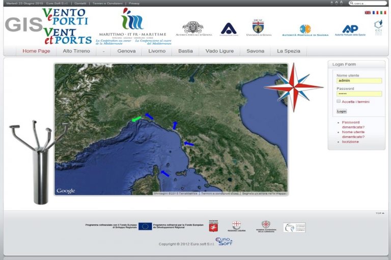
GNSS technology has been adopted by the consumer market in a very wide range of products. In the railway field, GNSS is used together with other technologies to track the position of trains. In the aerospace field, GNSS is used for navigation during all phases of flight. In the maritime field, GNSS is used to accurately determine the position of ships when they are in the open sea and also when they are maneuvering in congested ports. The last few years have seen an increasingly massive use of these systems in automation processes, in particular in the combined use with telecommunication technologies such as 5G.

Satellite
Telecommunications

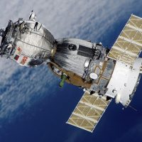
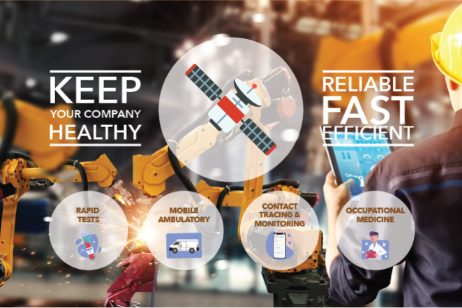
Satellite telecommunications applications are born to provide global coverage used for both civil and military purposes. Euro.Soft offers application and services based on the most popular telecommunications systems (INMARSAT, IRIDIUM, KA-SAT, ViaSat…), both for terrestrial and mobility (maritime and airborne) sectors. The company deployed several monitoring and e-health services, as the COVID screening (Satwork) and Mammography screening (Telesal), enabled by the satellite connection.  

Space Components

Space
Hardware

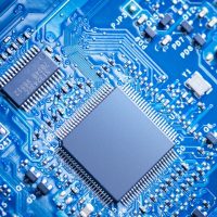
In the background of the company there are a lot of applications and developments of electronic systems in the automation and robotics fields, both in the aerospace and industrial sectors.
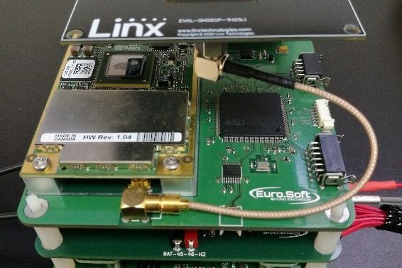
The company deals with the interfacing of electronic equipment and the management of real-time data in critical conditions. EuroSoft has been involved in many  projects funded by ASI, ESA and NASA agencies. Among them, the CIRANO project (data acquisition, telecommunications and localization of a lunar rover), IRENE projects (avionics of a deployable small re-entry capsule), UDRAGON and MISTRAL projects (TLC cubesat unit “space twitter”), PM3 (innovative reaction wheel for a small space platform), READI FP (biology experiment on the ISS). 
In the electronics laboratory of the company are available: instrumentation for HW prototipation and testing of the developed systems, such as PCB printer, CAD / CAM, oscilloscopes, test benches and power supply. Through partner companies involved as subcontractors, clean room, thermo-vacuum chambers and vibrating platforms are available.

Software
Development

Euro.Soft creates software applications for aerospace (“on board” and “ground segment” sectors). In particular, the experiences are related to the design and development of Data Base, systems for image management, applications for EGSE, control SW and data acquisition for M-GSE, development of avionics systems.
The most advanced tools, languages, techniques, methods (Structured Analysis, UML, etc.) and structured test techniques are adopted in the analysis, design and development of the software and support tools. The projects are carried out by applying the ESA standards of design and quality ECSS.